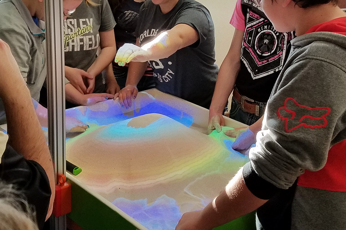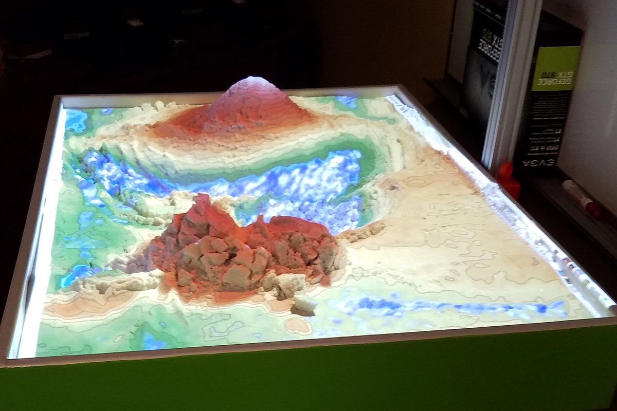
ESU 10 has created a hands-on-exhibit using 3D visualization applications to teach earth science concepts to students. The augmented reality (AR) sandbox allows users to create topography models by shaping real sand, which is then augmented in real time by an elevation color map, topographic contour lines, and simulated water. The system teaches geographic, geologic, and hydrologic concepts such as how to read a topography map, the meaning of contour lines, watersheds, catchment areas, levees, etc.
It can be used for various lessons including: Water Cycle, Geography, Earth Science, Hydrology, and Learning Through Play.
Facilitator's Guide and other information from UC Davis' AR Sandbox website.